A story by
Sindy Sterckx
A story by
Philippe Mougnaud
A story by
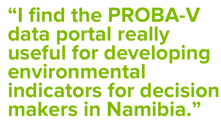
Issa Garba
A story by
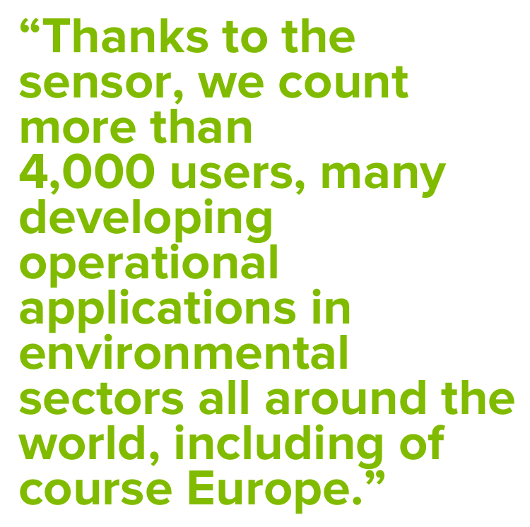
Bianca Hoersch
A story by
Jorg Versluys
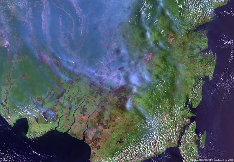
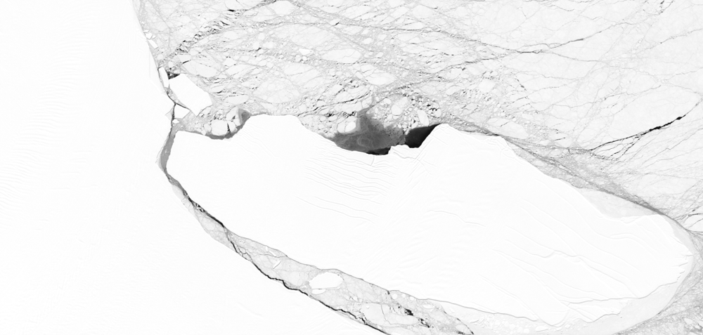
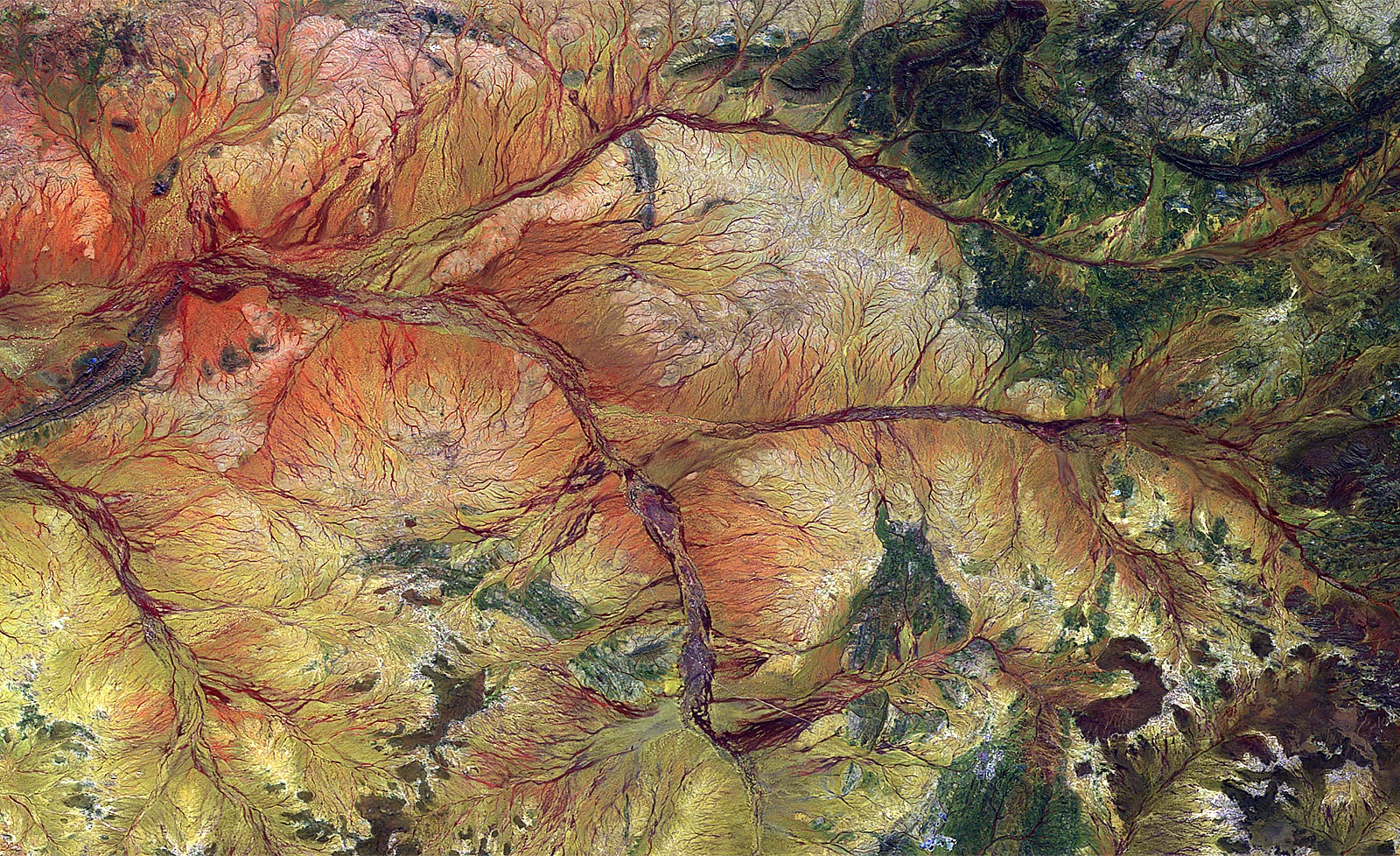
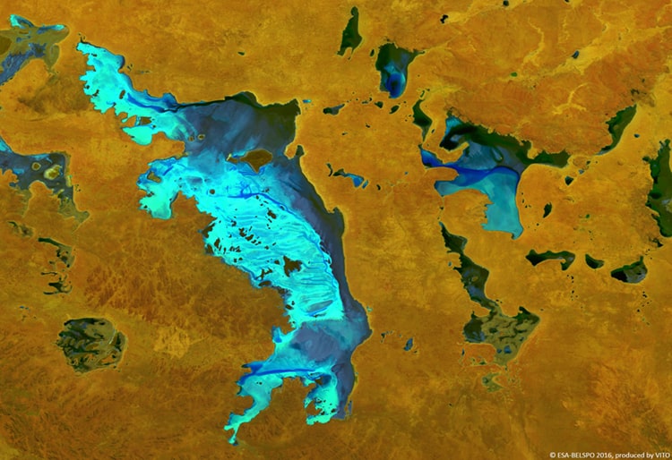
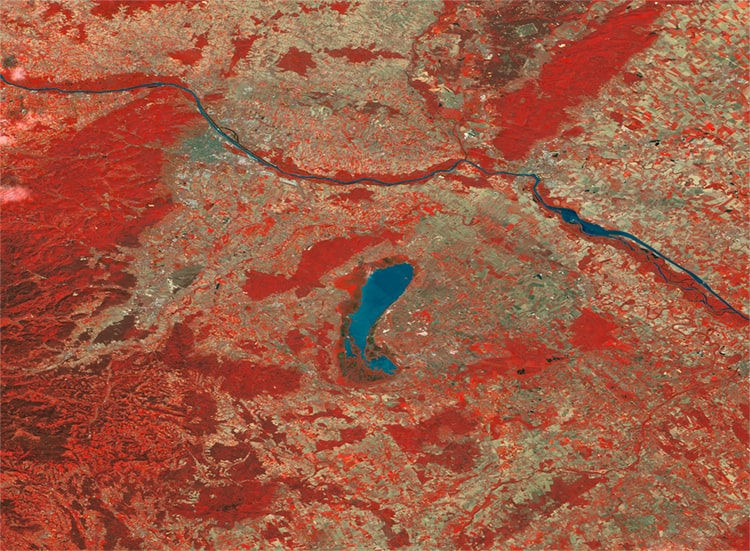
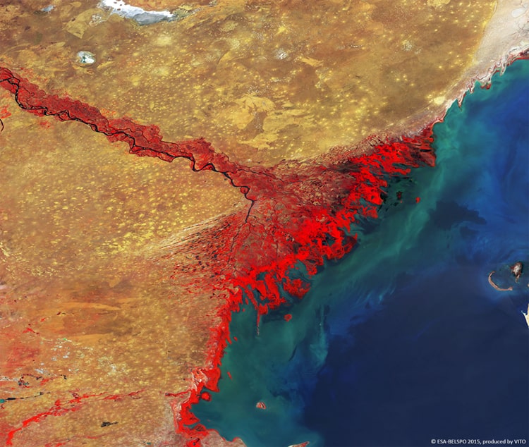
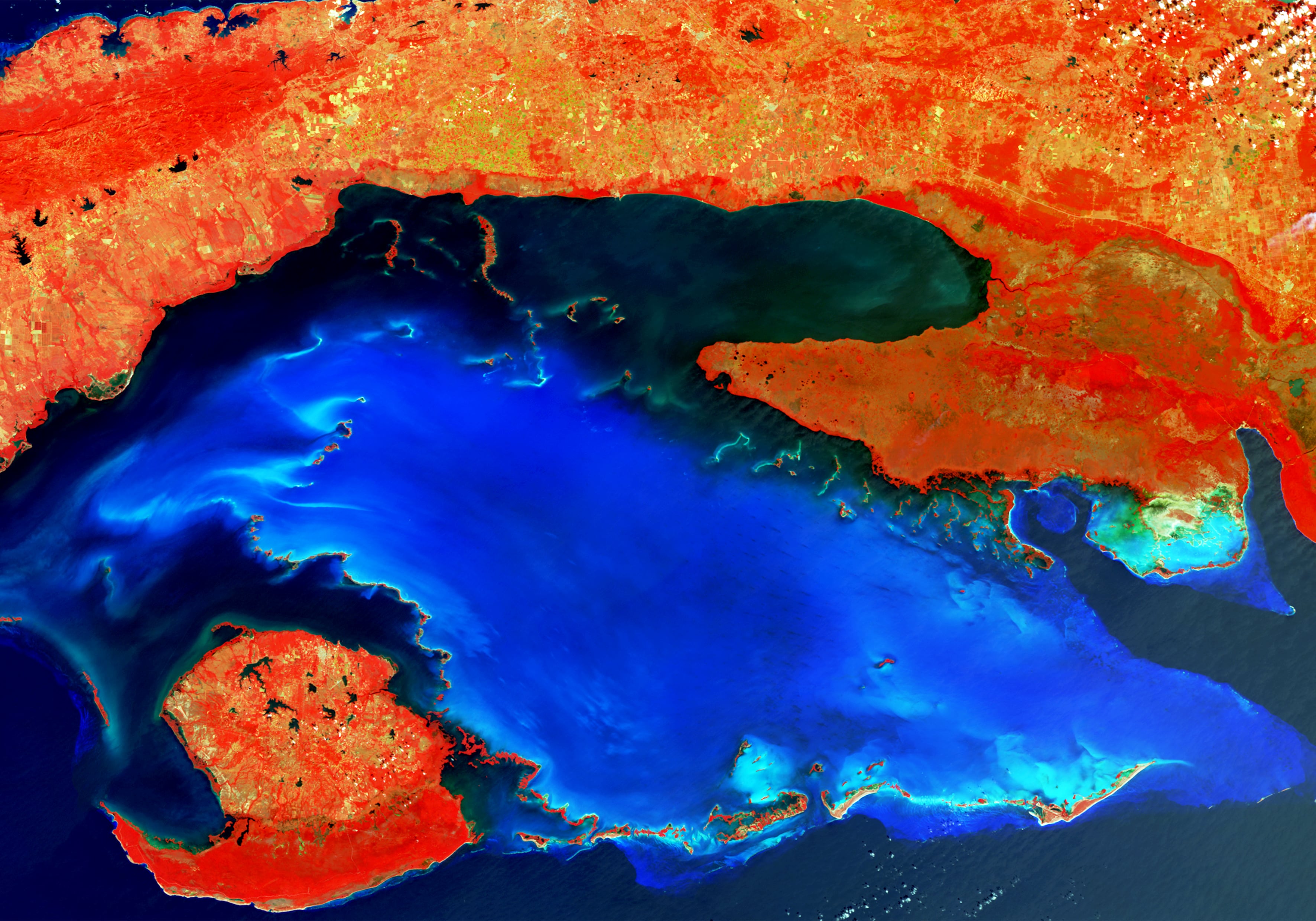
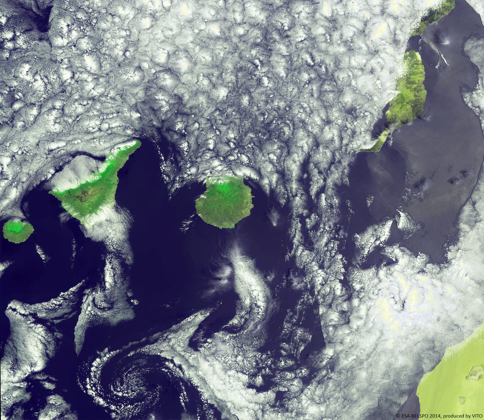
PROBA-V 100 m image of Woqooyi Galbeed, Somalia
A story by
Dennis Clarijs
A story by
Else Swinnen

A story by
Jean-Paul Malingreau
A story by
Dennis Gerrits
A story by

A story by
Roberto Biasutti
A story by
Peter Erb
A story by
Fabrizio Niro
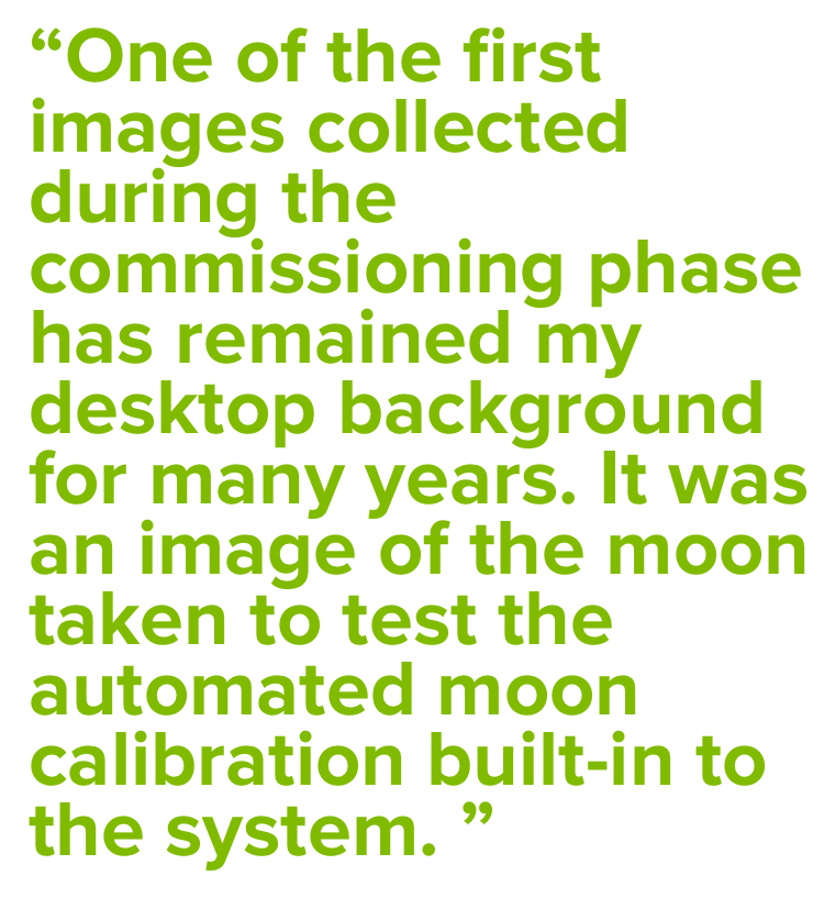
-919558-edited.jpg)
A story by
Etienne Tilmans
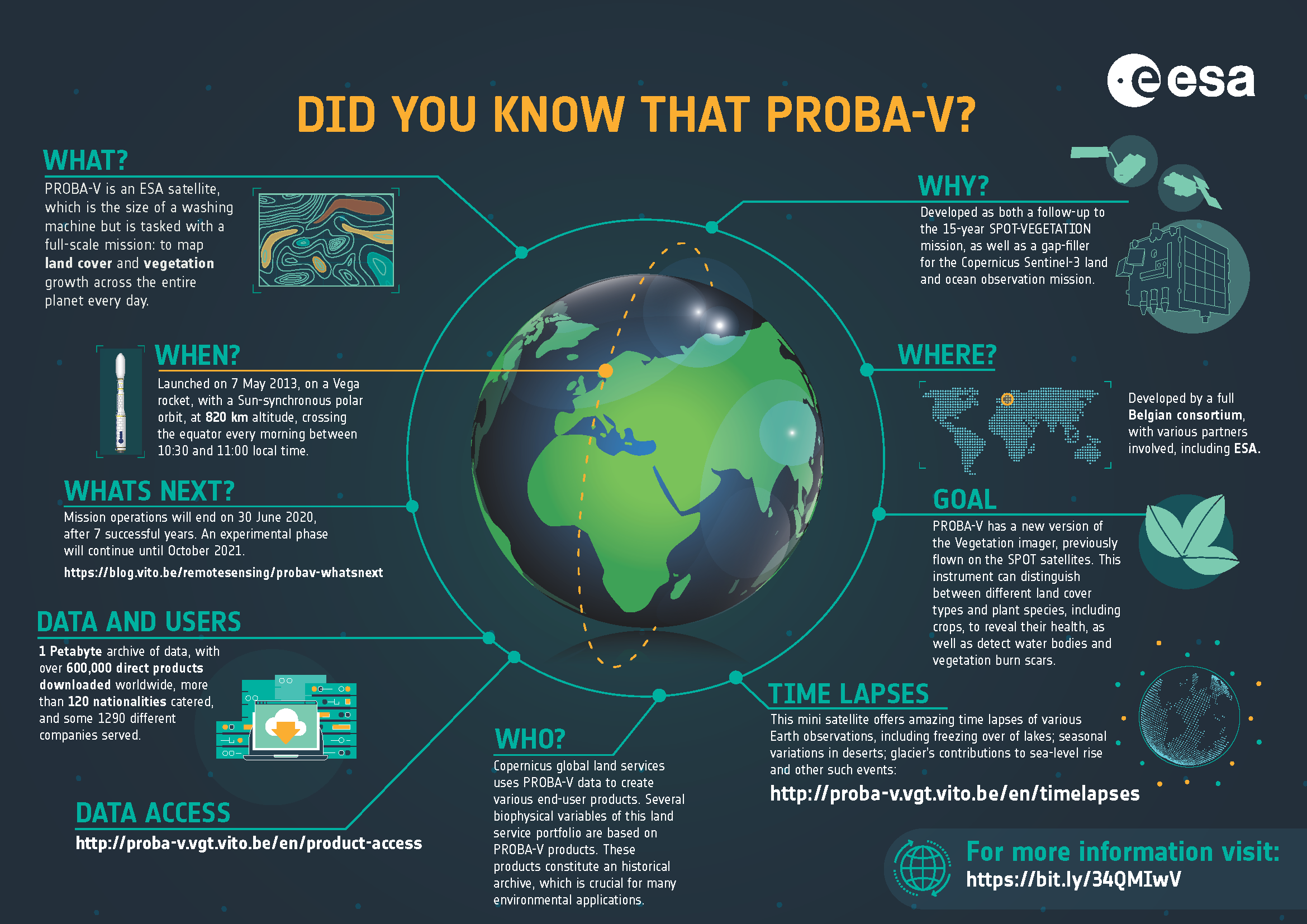
End of the operational lifetime? What's next?
A story by
Dennis Clarijs

A story by
Joost Vandenabeele

A story by
Erwin Goor
A story by
Jacques Marée
A story by
Michel Massart